

CHORIO – SELADI – MAVRODASOS – ELLINIKA BEACH
Α. Placement of the route in the map

Β. Altimeter presentation in the map


Path length: about 7km
Walking hours: approximately 3
Difficulty: easy
Beginning altitude: about 90 meters
Maximum altitude: about 260 meters
End altitude: 0 meters
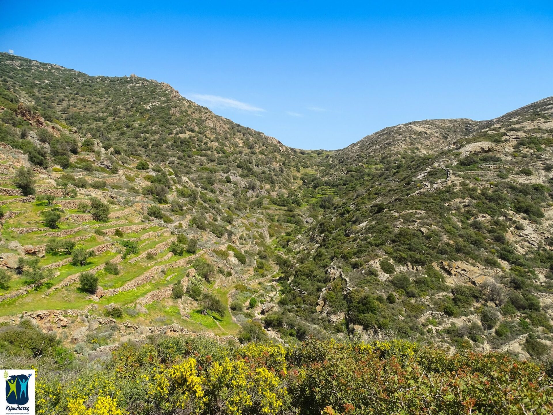
DESCRIPTION
The route starts from the Chorio, from the Ipapanti church. Turn left just before Agios Eustathios church and by following a concrete road and the “Skiadi” marking, you arrive at the position of Lebounia, where there is a bridge in the stream and an eucalyptus (approx. 750 meters). From there, you either turn left onto a dirt road, or you go straight ahead and you come across a path, without a sign, which will then lead you back to the dirt road at a point where there’s a big “ampourdektis” (small stone lake of water).

Upon meeting this intersection we are heading right.


You keep going through Agioi Anargyroi chapel. Ignore the left-hand dirt road to the Prophet Ilias, after about 2,800m. from the beginning and turn right. You will find the beginning of the pathway, a well-preserved “Kalderimi” (Road made of stones) between olive groves and vineyards.


Kalderimi descends and continues as a pathway on the coasts of a stream. In a while you leave the torch bed, in a right-hand turn where an old Kalderimi is rising again between high oil rivers, this site is called Mavrodasos.


After a while, the olive groves are slowly diluting and the view of the northern coast of Milos is unfolding before you. The path continues right and high from the torch bed. After successive shifts of downward and upward spots, you’ll see from above the Greek beach and downhill to the beach, from a pathway-bound dirt road.


Alternative route: Those who like adventure and have relevant experience, can modify the route and at the point where the path turns right (leaving the stream bed and going uphill), continue the descent to the Ellinika through the riverbed, where they will encounter pedestals and small hills that in winter turn into ponds and waterfalls. This alternative route can also be used as a return to the Chorio, if the descent is made from the classic path described above.


ELLINIKA – CHORIO (RETURN)
Α. Placement of the route in the map.

Β. Altimeter presentation of the route.

Path length: about 5km
Walking hours: about 1:30
Beginning altitude: about 30 meters
Maximum altitude: about 110 meters
End altitude: about 95 meters
DESCRIPTION
Caution: The return to the Chorio from Ellinika can be also done with a vehicle.
By walking the dirt road from Mavrospilia — Ellinika to the Chorio and just before going out to the concrete road, you turn left on a dirt road leading towards Agios Konstantinos and Eleni chapel. About 650 meters. after, and just before you get to the chapel, turn right to a dirt road and head to the expulsion of Agios Panteleimonas overlooking the beaches of Aliki and Bonatsa. From the east side of the church, a trail starts without signs but clearly visible, after passing through an old quarry, arrive at the chapel of Agios Modestos located just outside the Chorio.
Label number: 1, Overall length of path: 7km
Download the link of the above path from Wikiloc: https://el.wikiloc.com/wikiloc/download.do?id=20626885
Follow this trail from your smartphone!
Trail identifier: 20626885


 invites you at the Medieval Castle of Kimolos on Thursday 7/10/2021, closing with two screenings the successful course of Cine kalisperitis for this summer!")
